Trans Bhutan Trail Trek
Paro, Thimphu, Punakha
14 Nights 15 days
Description
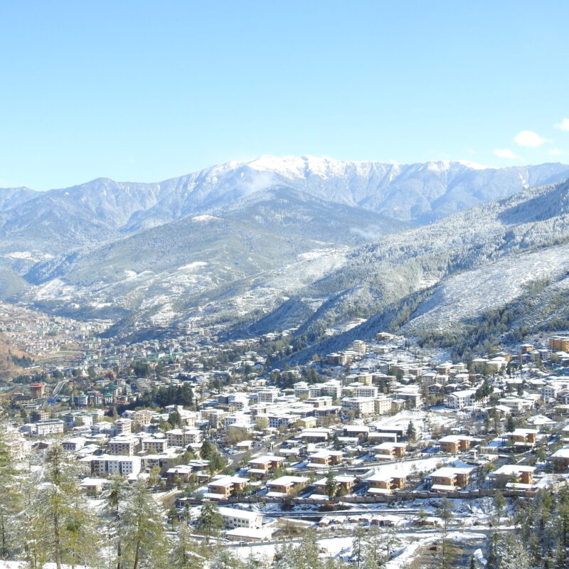
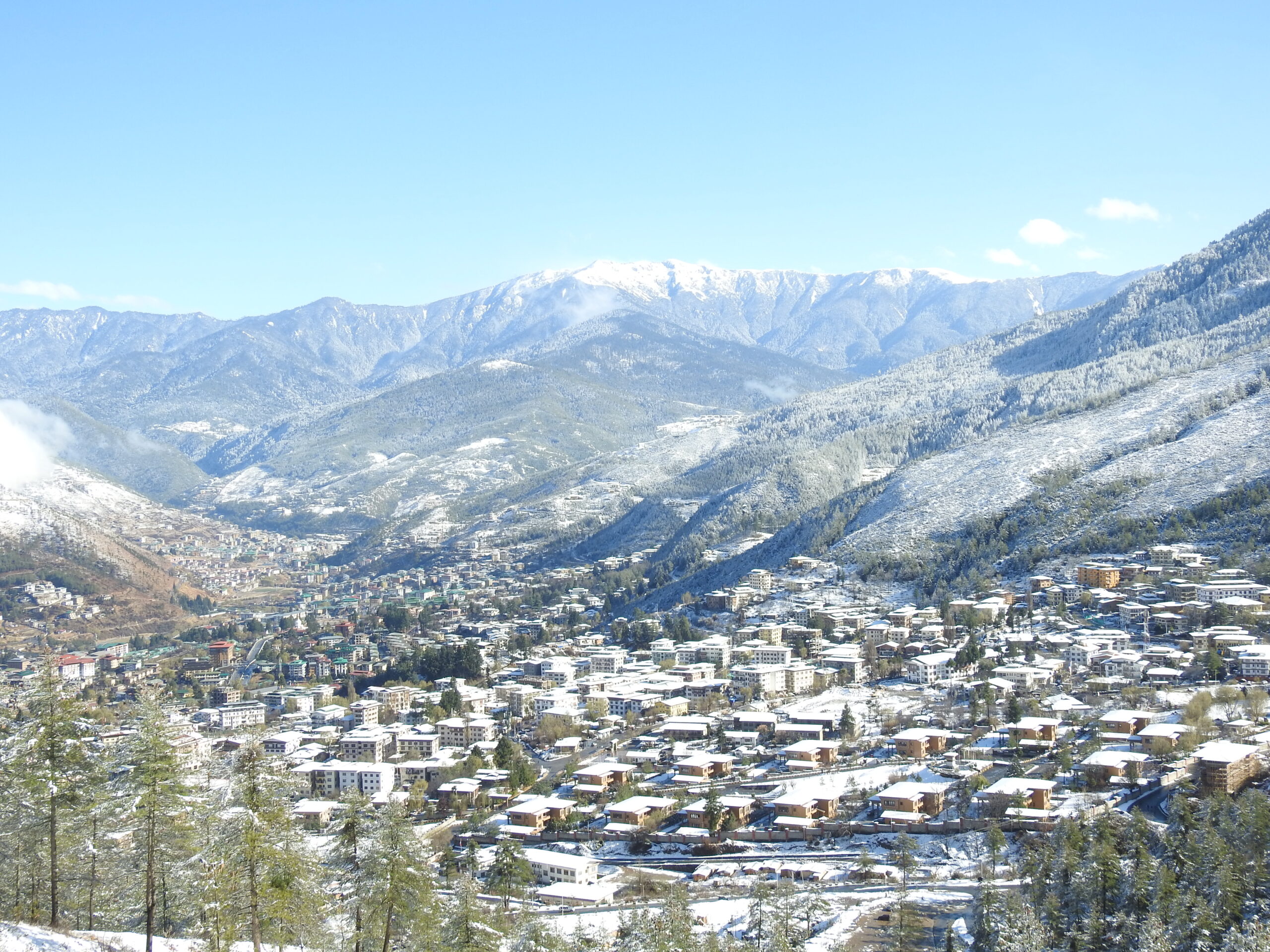
The Trans Bhutan Trail is an epic remarkable 403-kilometer (250-mile) journey through Bhutan’s natural wonders and cultural richness. From the serene town of Haa to the vibrant Trashigang, this epic trek unfolds diverse landscapes—lush valleys to snow-capped peaks—and unveils over 400 cultural and historical gems.
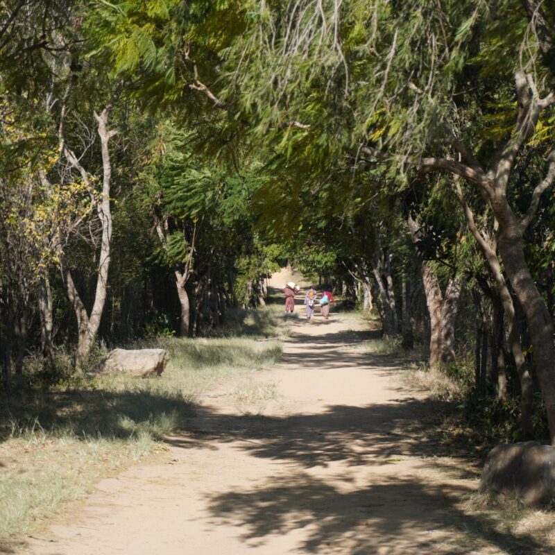
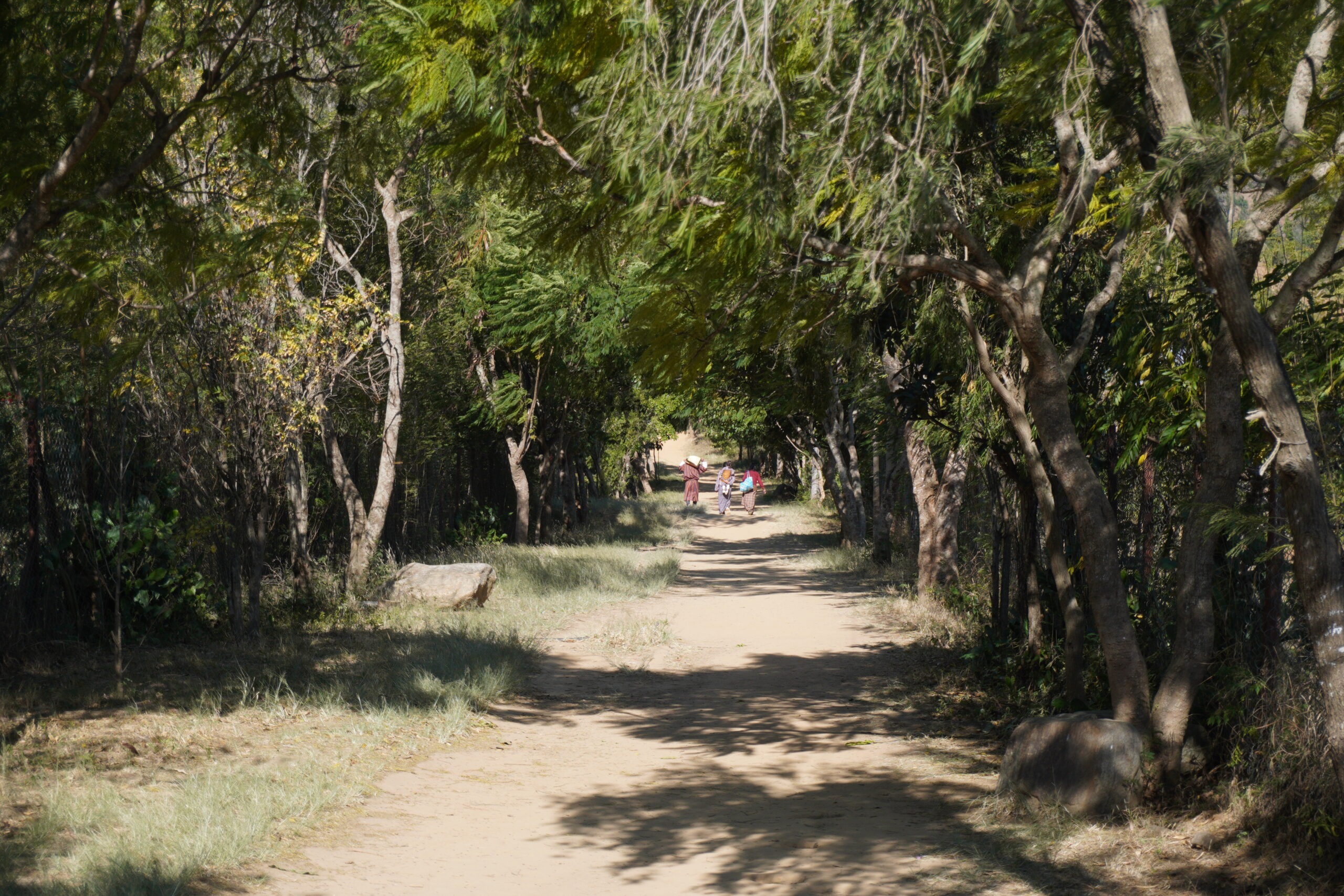
This trail is a tapestry of natural beauty and cultural immersion. Encounter warm locals, savor authentic Bhutanese cuisine, and immerse yourself in traditional customs. From gentle strolls along riverbanks to challenging mountain passes, the trail caters to all hikers, leading to ancient villages, towering dzongs, and sacred temples.
More than a trek, it’s a commitment to sustainable tourism—environmentally friendly trail development and community empowerment. The Trans Bhutan Trail is a transformative experience, offering a deeper understanding of Bhutan’s heart, an authentic adventure away from crowds, and a treasure trove of unforgettable memories. Embark on the Trans Bhutan Trail and discover the soul of Bhutan.
- 14 Nights 15 days
- Tour Type : Trekking
- Difficulty : CHALLENGING
- Availability : Upon Request
- Pickup : Paro Airport
- Drop : Paro Airport
Departure & Return Location
- Paro International Airport
Places
- Paro, Thimphu, Punakha
Departure Time
- 3 Hours Before Flight Time
Availability
- Upon Request
Price Includes
- Transportation
- Accommodation at 3 star hotel
- Daily 3 meals (B/L/D) at designated restaurants or hotels
- A qualified & licensed English-speaking guide
- Entrance Fees
- SDF & VISA Fee
- Entrance Fees
Not Included
- Guide & Driver Tips
- Soft drinks and Alcoholic drinks
- Any Personal Expenses
- Room Service Fees
- Meals at 4-5 stars restaurants
- Travel Insurance (can be arranged with us)
- Flight on other airline to catch Drukair/Tashi Airlines Flight
Itinerary
Arrival at Paro International Airport. Private vehicle transfer to Haa with a stop at Chelela for Himalayan vistas. Hotel check-in and acclimatization walk in Haa town. Visit Lhakhang Karpo. Overnight Hotel at Haa.
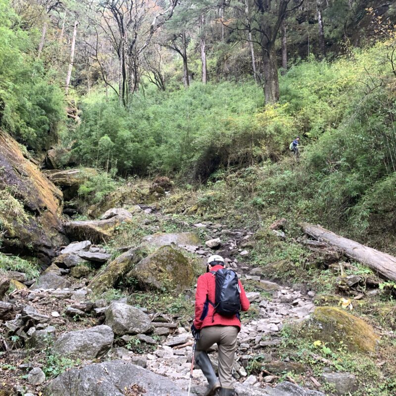
Breakfast and transfer to Katsho for the start of the trek. Follow the ancient Trans Bhutan Trail, passing through Katsho Valley and Kaleyla pass. Enjoy views of Himalayan range. Descend to Paro Valley and visit Kichu Lhakhang. Dinner at hotel.
Trek Distance: 14.3 kilometres (8.9 miles)
Estimated Trek Duration: 6 – 7 hours
Elevation Gain: 895 metres (2,936 feet)
Elevation Loss: 1,245 metres (4,085 feet)
Starting Elevation: 2,772 metres (9,095 feet)
Ending Elevation: 2,375 metres (7,792 feet)
Maximum Elevation: 3,684 metres (12,087 feet)
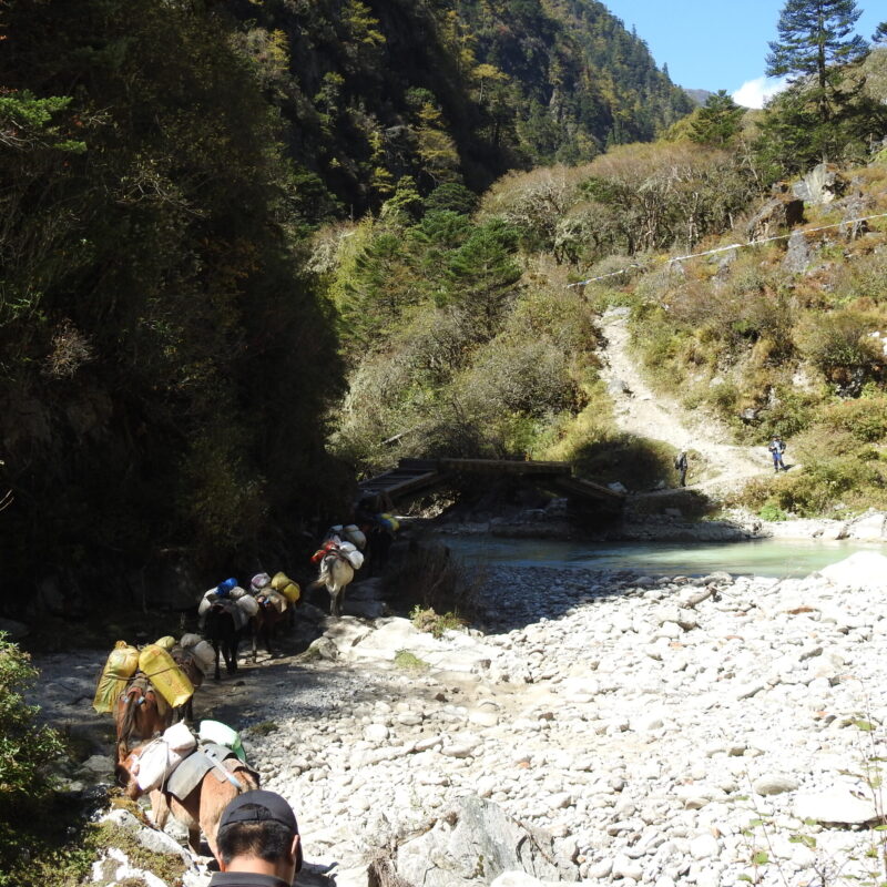
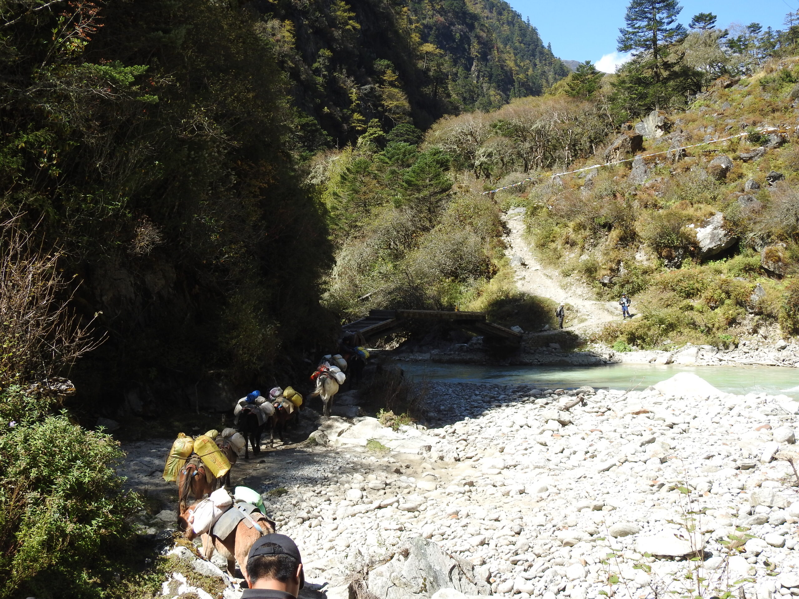
Breakfast and continue trekking east from Ngopa. Traverse rice paddies, visit Dopshari village, and climb to Upper Dopshari for stunning views. Hotel check-in and relaxation.
Trek Distance: 14.92 kilometres (9.27 miles)
Estimated Trek Duration: 7 – 8 hours
Elevation Gain: 758 metres (2,487 feet)
Elevation Loss: 301 metres (988 feet)
Starting Elevation: 2,375metres (7,792 feet)
Ending Elevation: 2,830 metres (9,285 feet)
Maximum Elevation: 2,830 metres (9,285 feet)
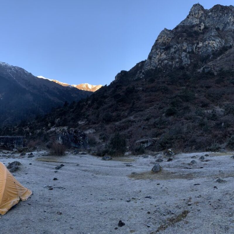
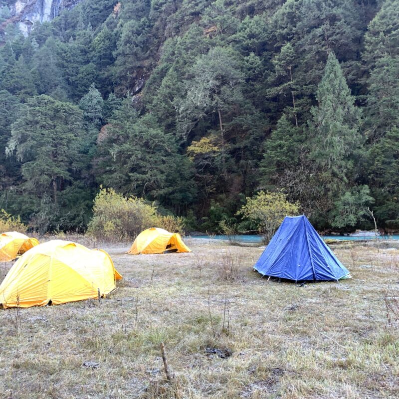
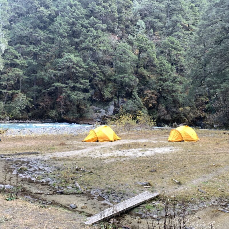
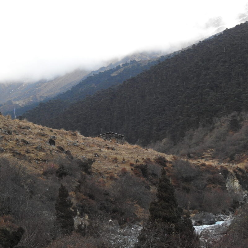
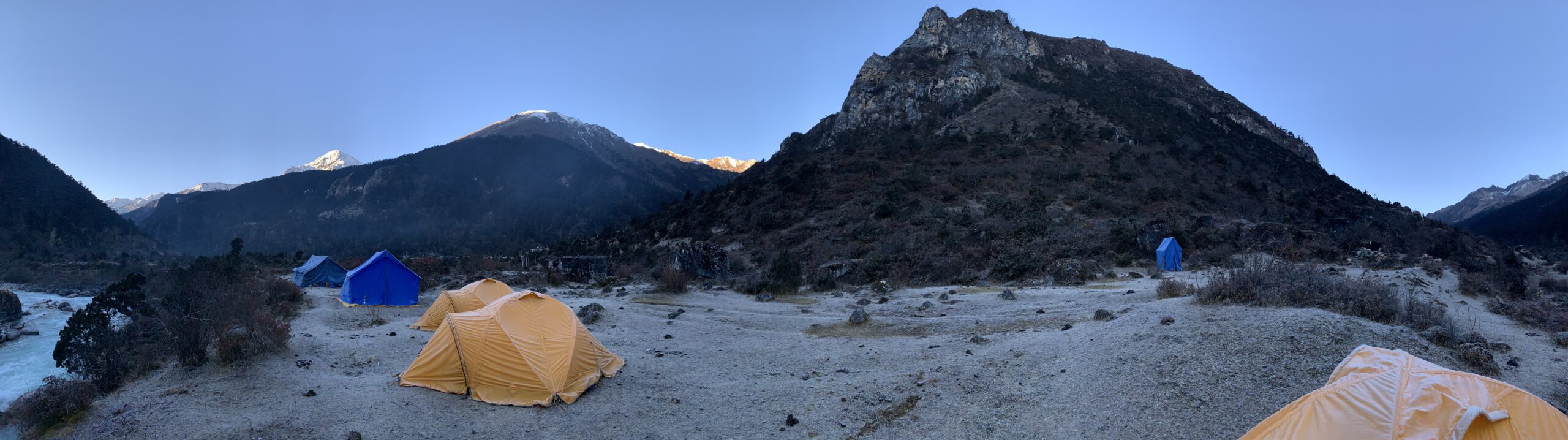
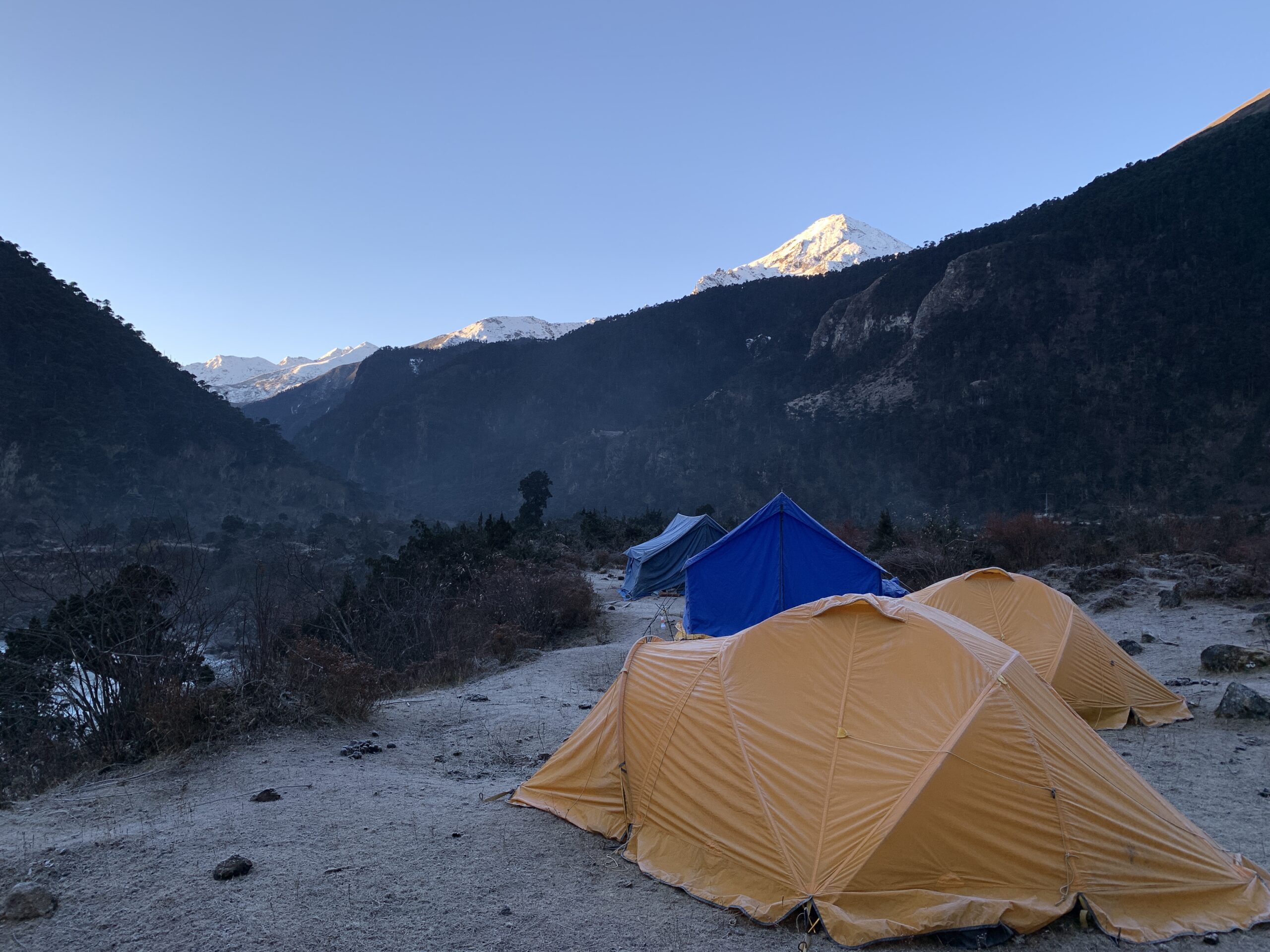
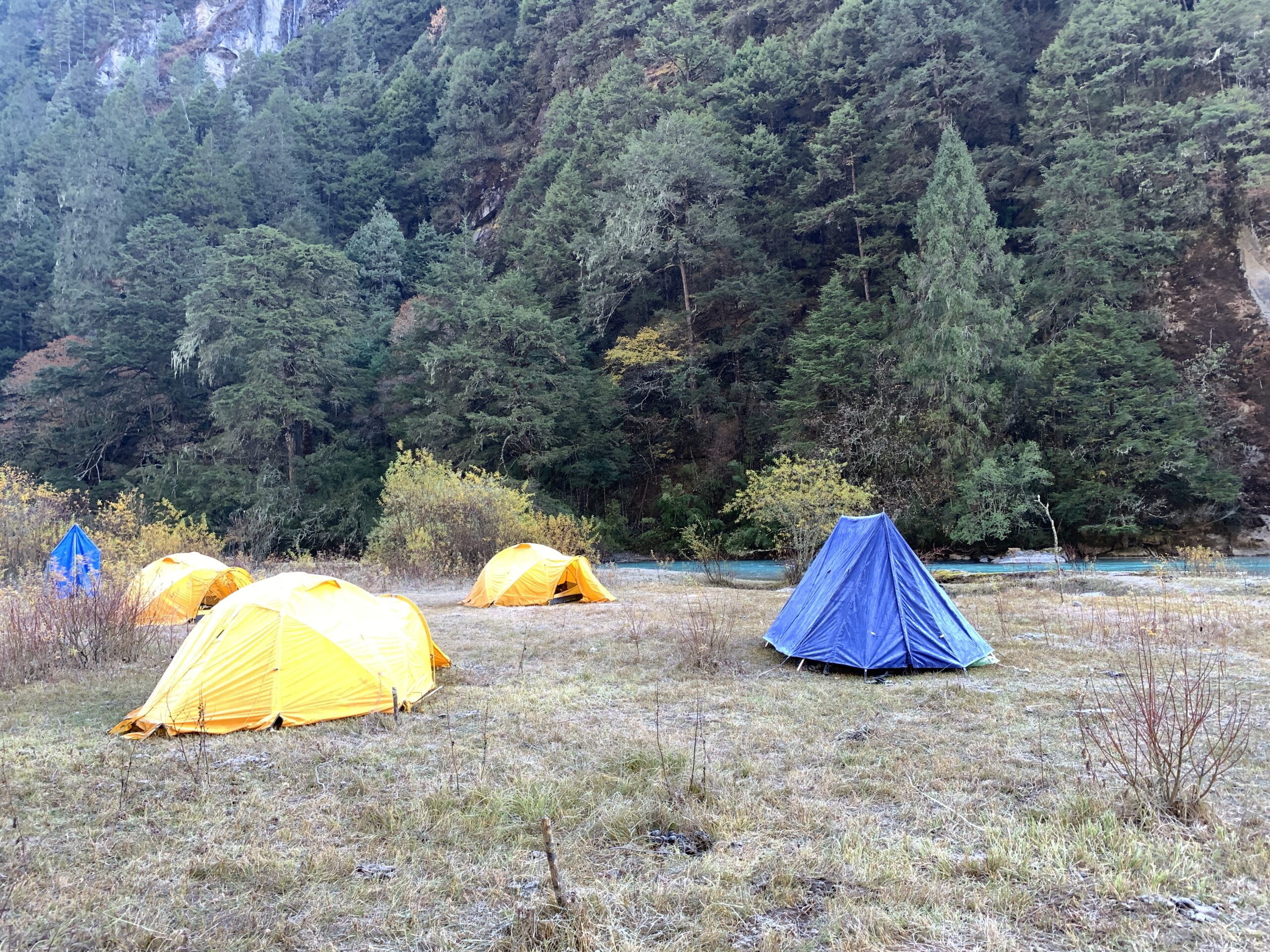
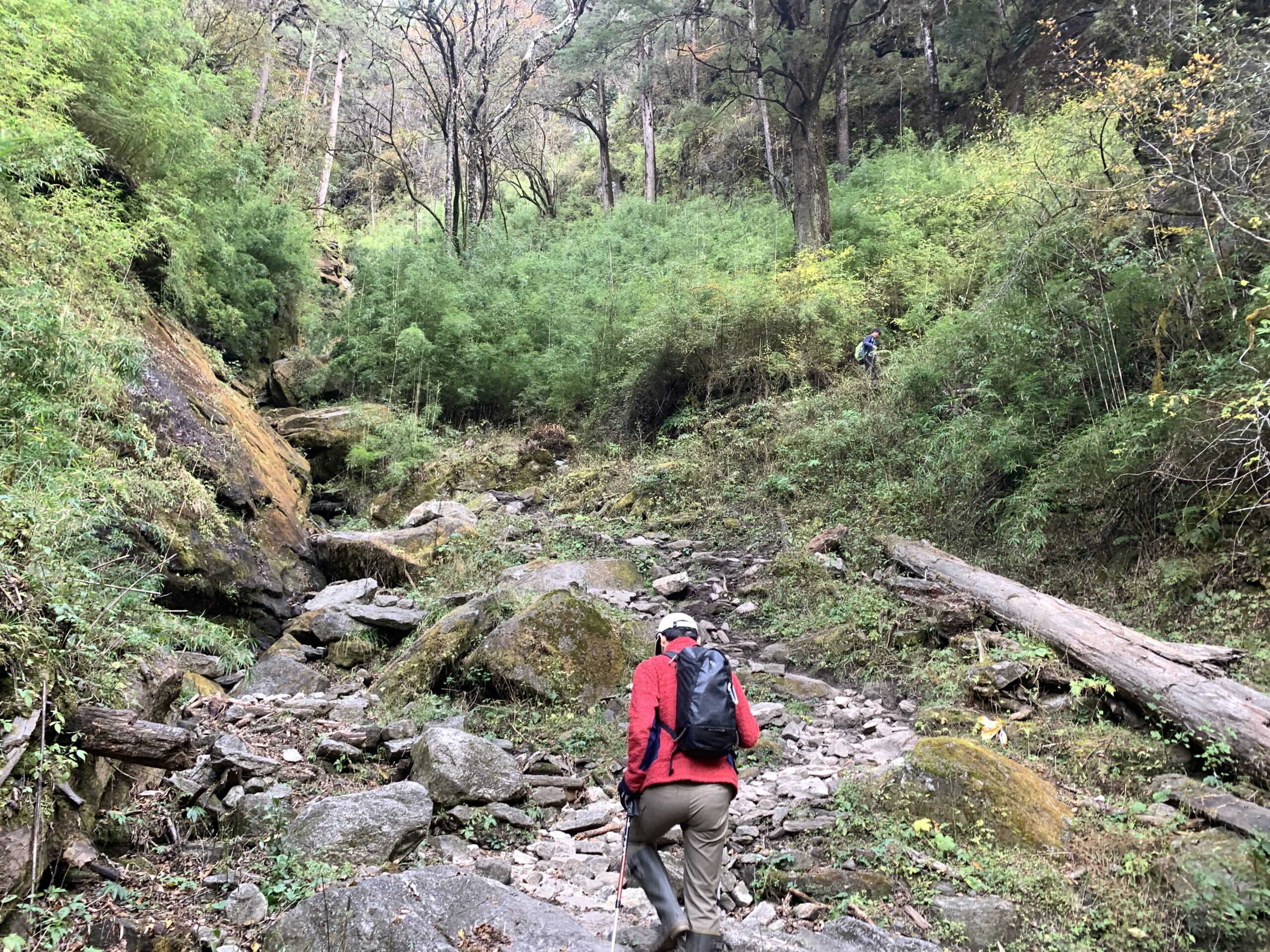
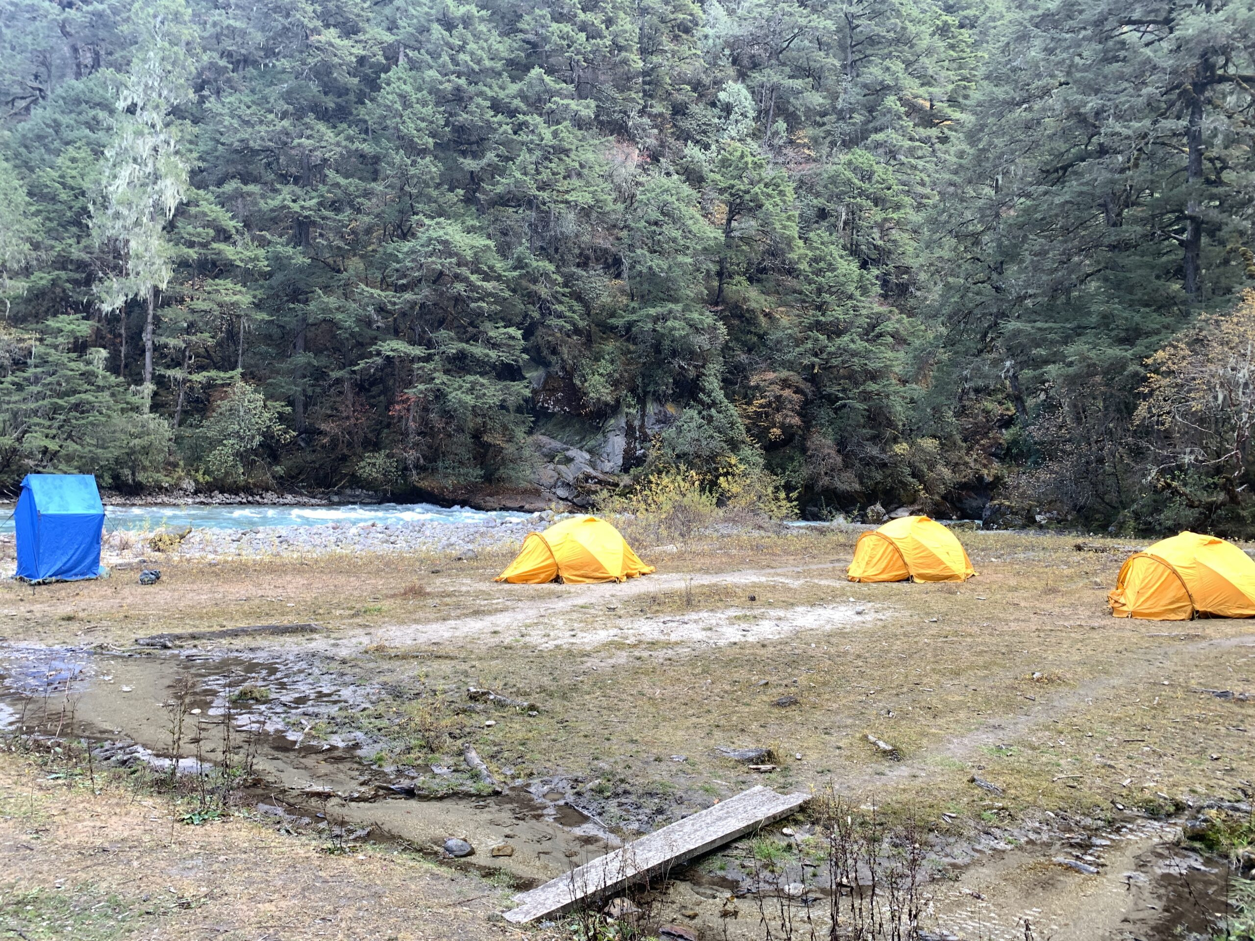
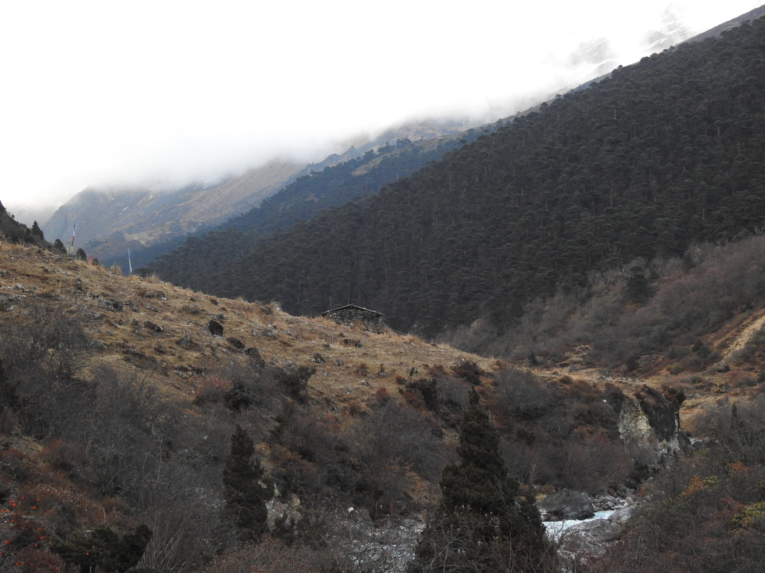
Breakfast and trek east towards Tsalunang. Climb through reforestation projects, visit Jelila Pass and Jela Dzong. Descend to Tsalunang Valley. Dinner at camp.
Trek Distance: 12.81 kilometres (7.96 miles)
Estimated Trek Duration: 7 – 8 hours
Elevation Gain: 770 metres (2,526 feet)
Elevation Loss: 812 metres (2,664 feet)
Starting Elevation: 2,830 metres (9,285 feet)
Ending Elevation: 2,777 metres (9,111 feet)
Maximum Elevation: 3,473 metres (11,395 feet)
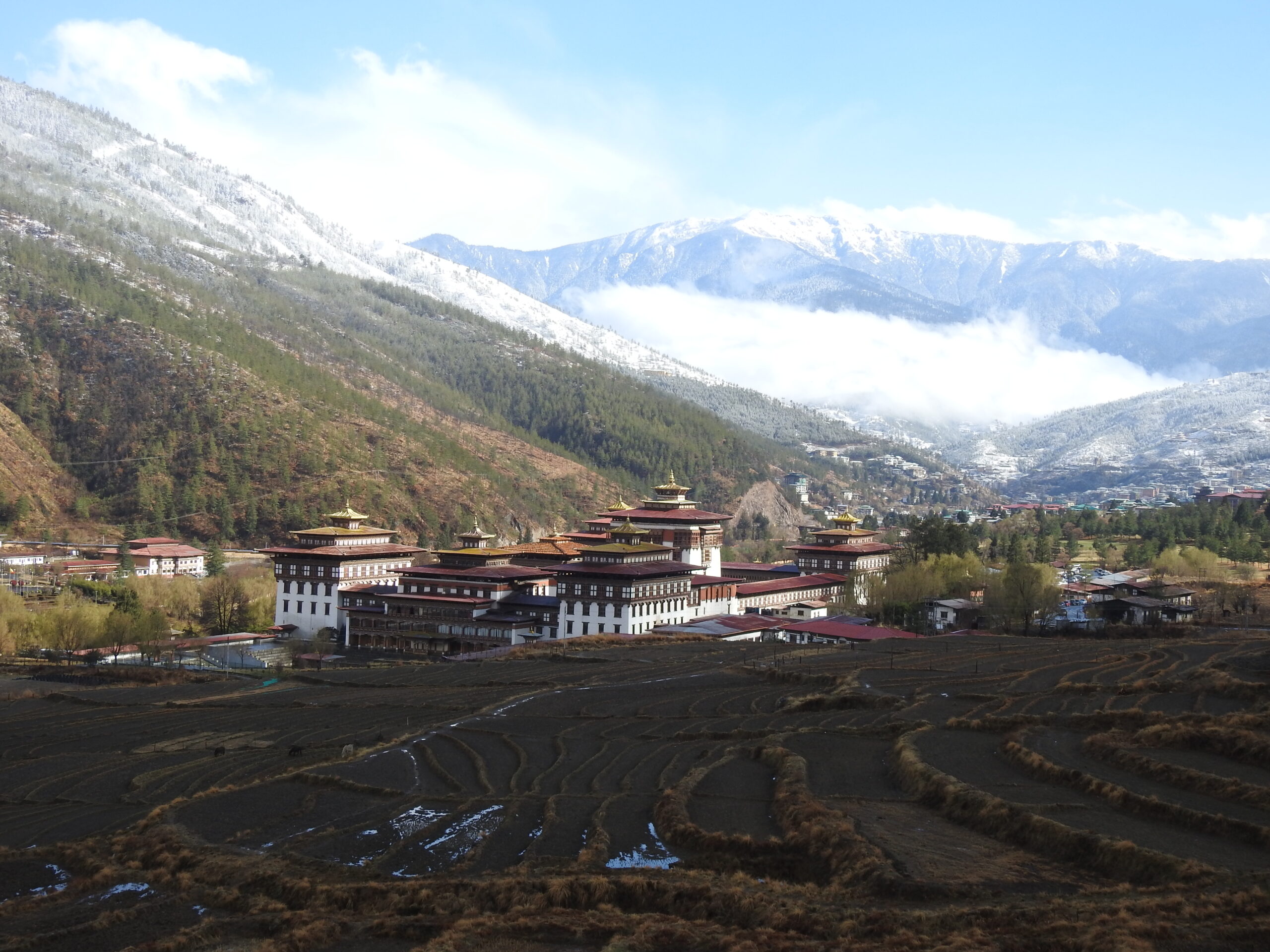
Breakfast and continue trekking east towards Thimphu. Pass through Pumola Pass, enjoy mountain views, and reach Buddha Point. Check-in at the hotel and dinner in Thimphu.
Trek Distance: 17.53 kilometres (10.89 miles)
Estimated Trek Duration: 7 – 8 hours
Elevation Gain: 1,197 metres (3,927 feet)
Elevation Loss: 1,373 metres (4,505 feet)
Starting Elevation: 2,777 metres (9,111 feet)
Ending Elevation: 2,609 metres (8,560 feet)
Maximum Elevation: 3,994 metres (13,104 feet)
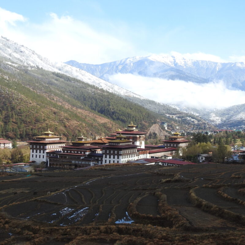
Breakfast and return to Buddha Dordenma to follow the trail towards Hongtsho. Descend via Debsi Valley, visit Simtokha Dzong, and reach Hongtsho. Dinner at the hotel.
Trek Distance: 20 kilometres (12.43 miles)
Estimated Trek Duration: 7 – 8 hours
Elevation Gain: 570 metres (1,870 feet)
Elevation Loss: 399 metres (1,309 feet)
Starting Elevation: 2,609 metres (8,560 feet)
Ending Elevation: 2,780 metres (9,121 feet)
Maximum Elevation: 2,780 metres (9,121 feet)
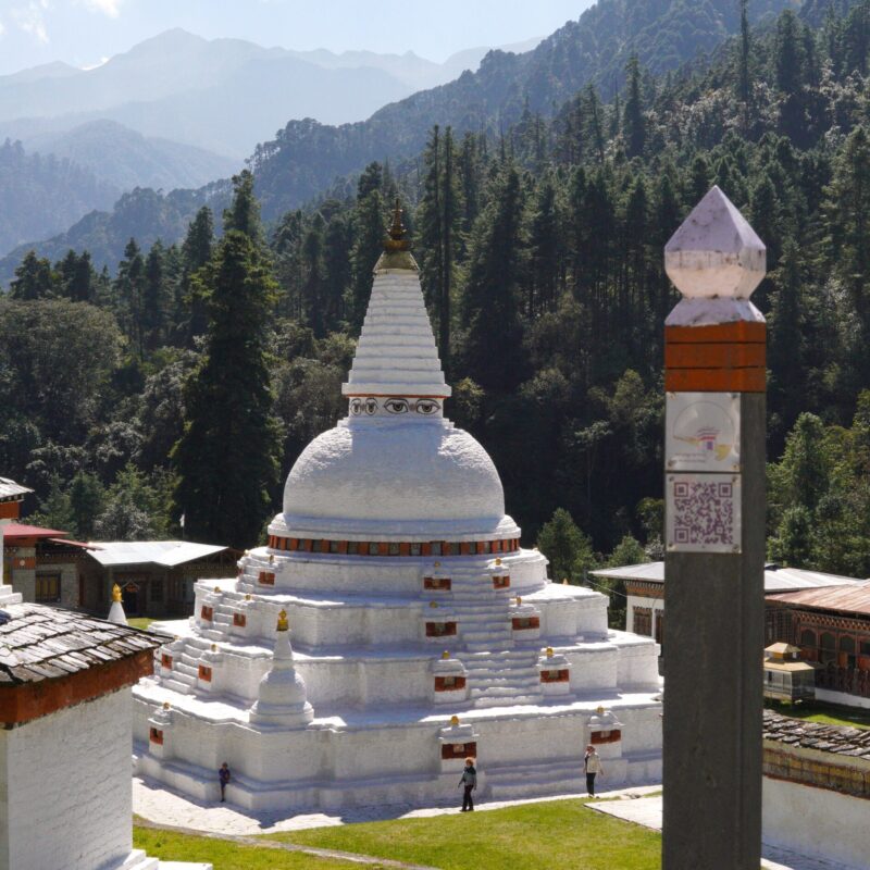
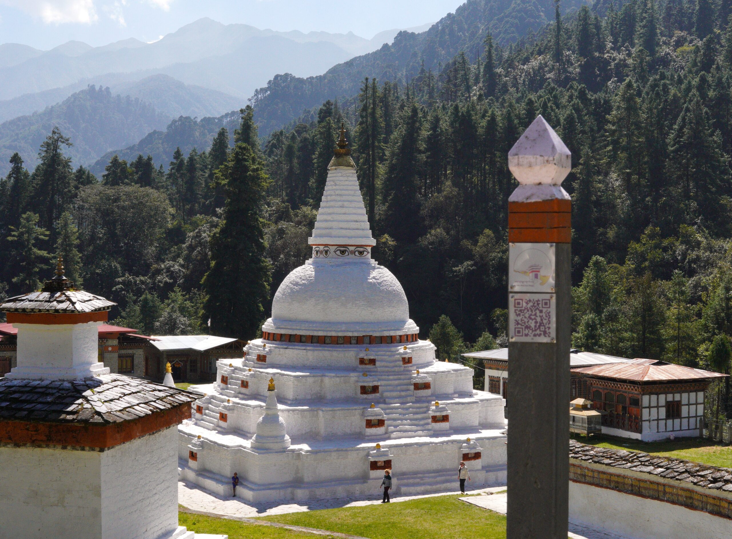
Breakfast and return to Hongtsho. Ascend to Dochula Pass, visit Druk Wangyal Chorten, and descend to Thinleygang. Dinner at camp.
Trek Distance: 12.88 kilometres (8 miles)
Estimated Trek Duration: 6 – 7 hours
Elevation Gain: 436 metres (1,431 feet)
Elevation Loss: 1,404 metres (4,607 feet)
Starting Elevation: 2,780 metres (9,121 feet)
Ending Elevation: 1,770 metres (5,807 feet)
Maximum Elevation: 3,110 metres (10,204 feet)
Breakfast and trek towards Punakha Dzong. Visit Toeb Chandana Lhakhang, climb to Chorten for panoramic views, and reach Punakha. Dinner at the hotel.
Trek Distance: 14.71 kilometres (9.14 miles)
Estimated Trek Duration: 6 – 7 hours
Elevation Gain: 196 metres (643 feet)
Elevation Loss: 777 metres (2,549 feet)
Starting Elevation: 1,770 metres (5,807 feet)
Ending Elevation: 1,288 metres (4,226 feet)
Maximum Elevation: 1,821 metres (5,975 feet)
Breakfast and visit Punakha Dzong. Trek east towards Lingmukha, climb to the highest point, and visit Lingmukha Lhakhang. Dinner at camp.
Trek Distance: 12 kilometres (7.46 miles)
Estimated Trek Duration: 6 – 7 hours
Elevation Gain: 948 metres (3,110 feet)
Elevation Loss: 81 metres (266 feet)
Starting Elevation: 1,288 metres (4,226 feet)
Ending Elevation: 2,147 metres (7,044 feet)
Maximum Elevation: 2,147 metres (7,044 feet)
Breakfast and continue trekking east towards Samtengang. Visit Chungse Azhe Gyalzom Lhakhang and enjoy panoramic views. Dinner at camp.
Trek Distance: 13.85 kilometres (8.61 miles)
Estimated Trek Duration: 7 – 8 hours
Elevation Gain: 935 metres (3,068 feet)
Elevation Loss: 1,133 metres (3,717 feet)
Starting Elevation: 2,147 metres (7,044 feet)
Ending Elevation: 1,950 metres (6,398 feet)
Maximum Elevation: 2,462 metres (8,078 feet)
Breakfast and trek towards Razawo. Visit Razawo Chorten, one of the oldest in Bhutan. Dinner at camp.
Trek Distance: 16.24 kilometres (10.09 miles)
Estimated Trek Duration: 7 – 8 hours
Elevation Gain: 800 metres (2,625 feet)
Elevation Loss: 855 metres (2,805 feet)
Starting Elevation: 1,989 metres (6,526 feet)
Ending Elevation: 1,934 metres (6,345 feet)
Maximum Elevation: 2,798 metres (9,180 feet)
Breakfast and trek towards Pelela Pass, crossing Rida village. Enjoy a picnic lunch at the pass and descend to Longtey. Dinner at camp.
Trek Distance: 15.7 kilometres (9.76 miles)
Estimated Trek Duration: 6 – 7 hours
Elevation Gain: 1,488 metres (4,882 feet)
Elevation Loss: 245 metres (804 feet)
Starting Elevation: 1,934 metres (6,345 feet)
Ending Elevation: 3,174 metres (10,414 feet)
Maximum Elevation: 3,413 metres (11,198 feet)
Breakfast and vehicle transfer to Paro. Visit Ta Dzong Museum and Rinpung Dzong. Check into the hotel and relax. Farewell dinner at a local restaurant.
Breakfast and visit the iconic Tiger’s Nest Monastery. Return to Paro for relaxation or shopping. Farewell dinner with the guide.
Trek Distance: 9.15 kilometres (5.69 miles)
Estimated Trek Duration: 6 – 7 hours
Elevation Gain: 724 metres (2,375 feet)
Elevation Loss: 724 metres (2,375 feet)
Starting Elevation: 2,584 metres (8,478 feet)
Ending Elevation: 2,584 metres (8,478 feet)
Maximum Elevation: 3,152 metres (10,342 feet)
Breakfast and transfer to the airport for the international departure flight.